Field notes · GEOANALYSIS
Read the landscape, layer by layer.
Six sourced guides to the rocks, water and landscapes that connect them.
Geology · Water · Environment
Methods, landmarks and context.
Browse each guide, then follow its linked references for more detail.
Start here
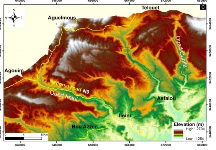
Lithological mapping and automatic lineament extraction using Aster and Gdem data in the Imini-Ounilla-Asfalou district, South High Atlas of Marrakech, Morocco
1 min read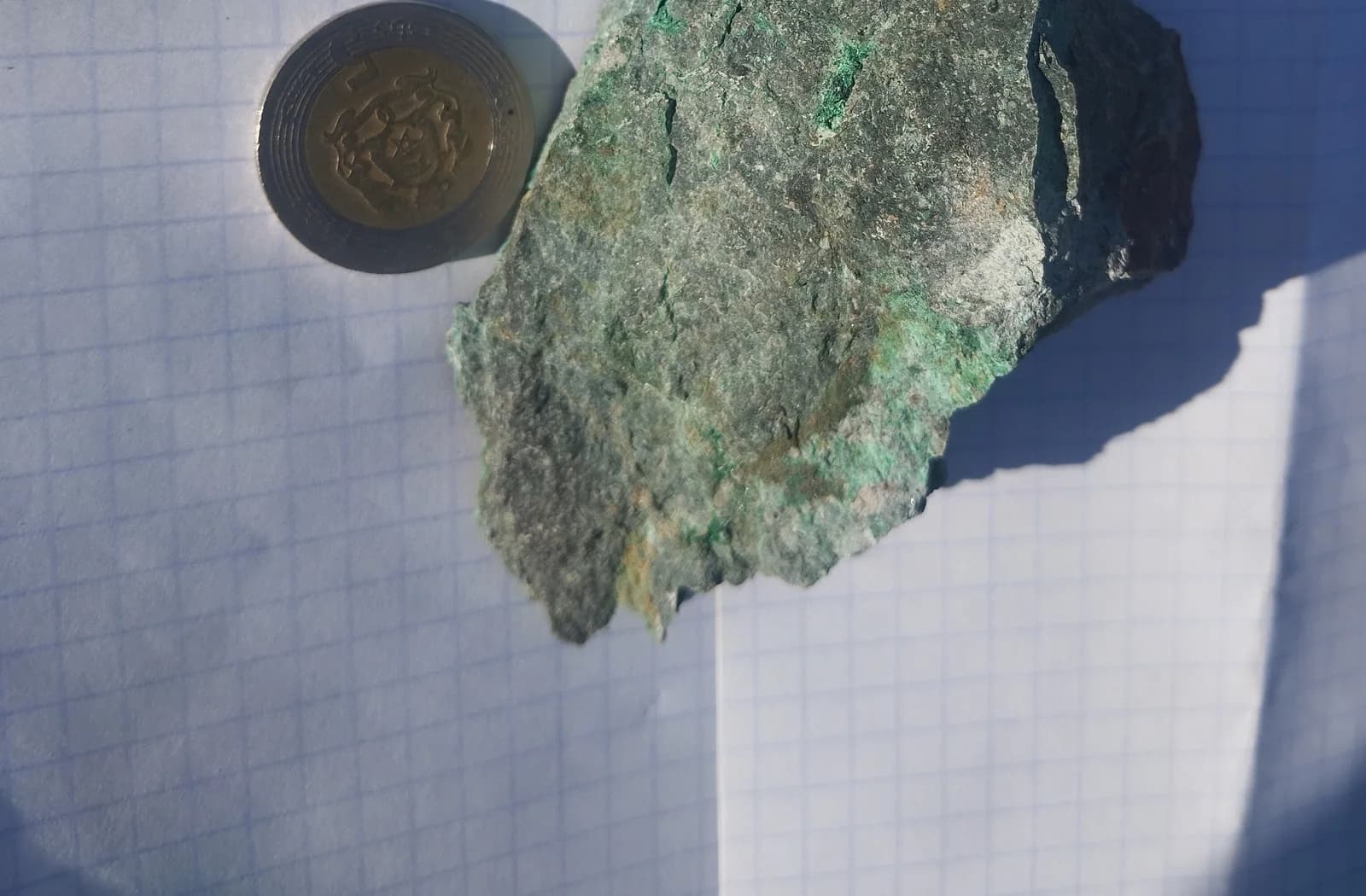
Sentinel-1: observing when clouds hide the ground
1 min read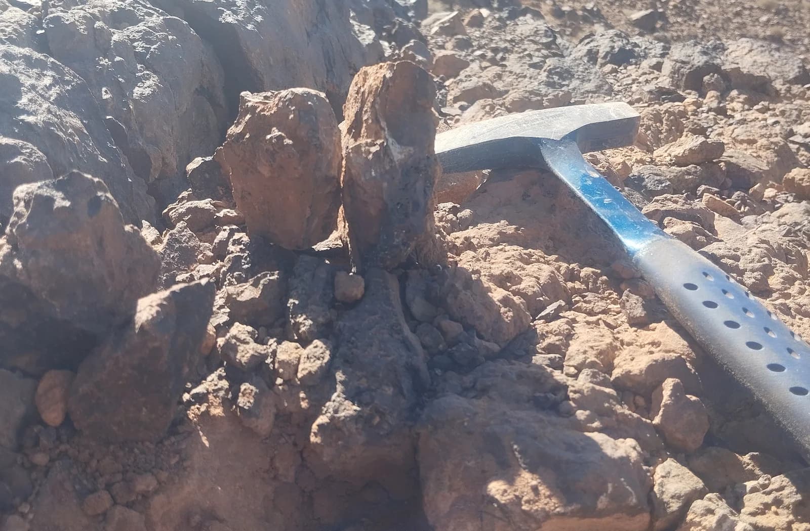
Geological maps: connecting outcrops to the subsurface
1 min read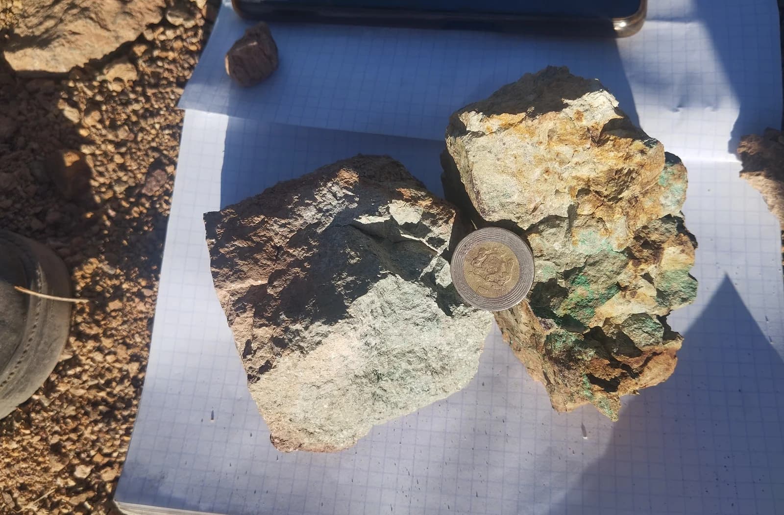
Electrical resistivity: a clue, not a guarantee of water
1 min read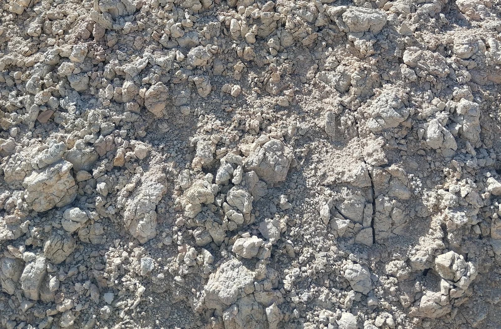
Groundwater: making an unseen resource visible
1 min read