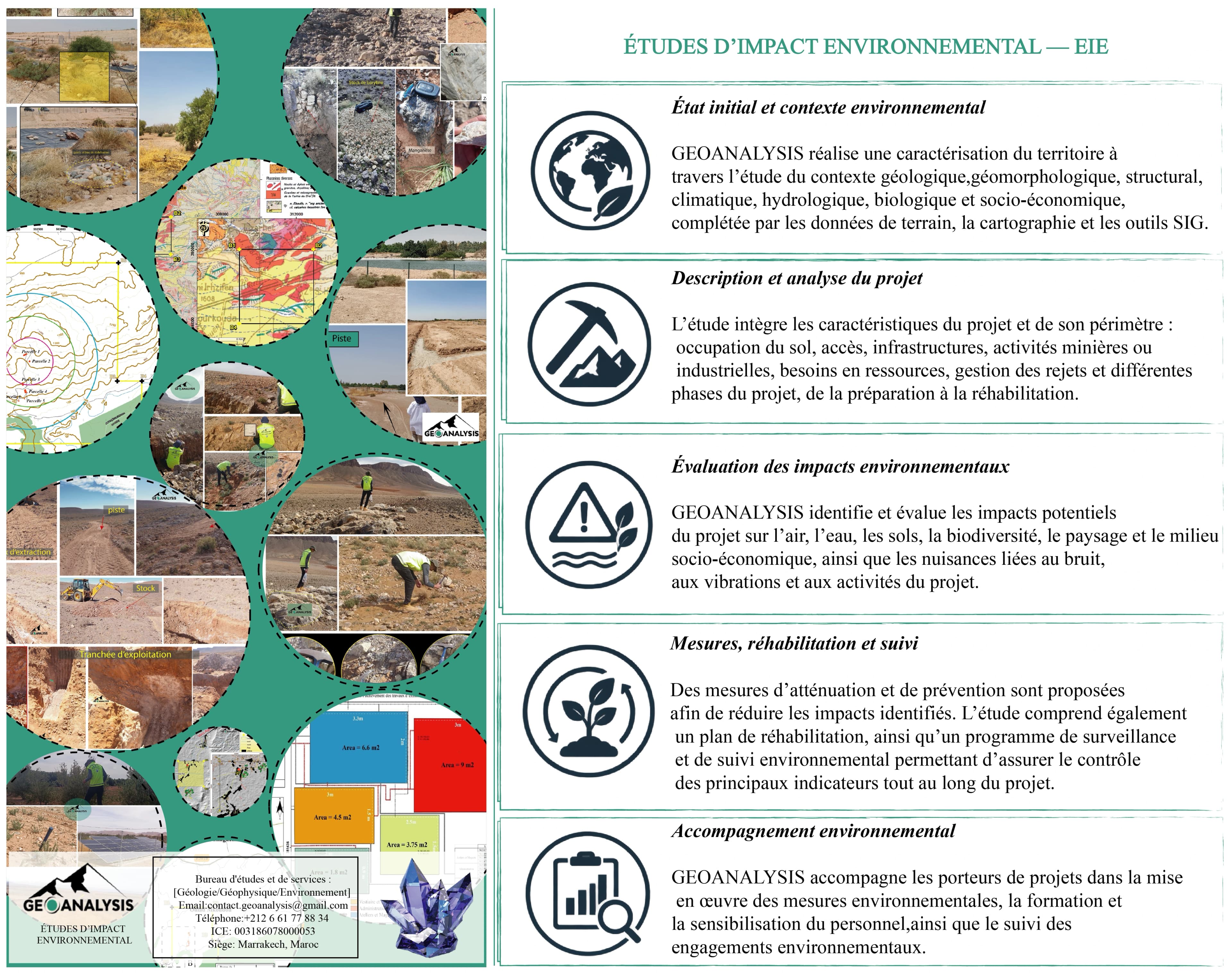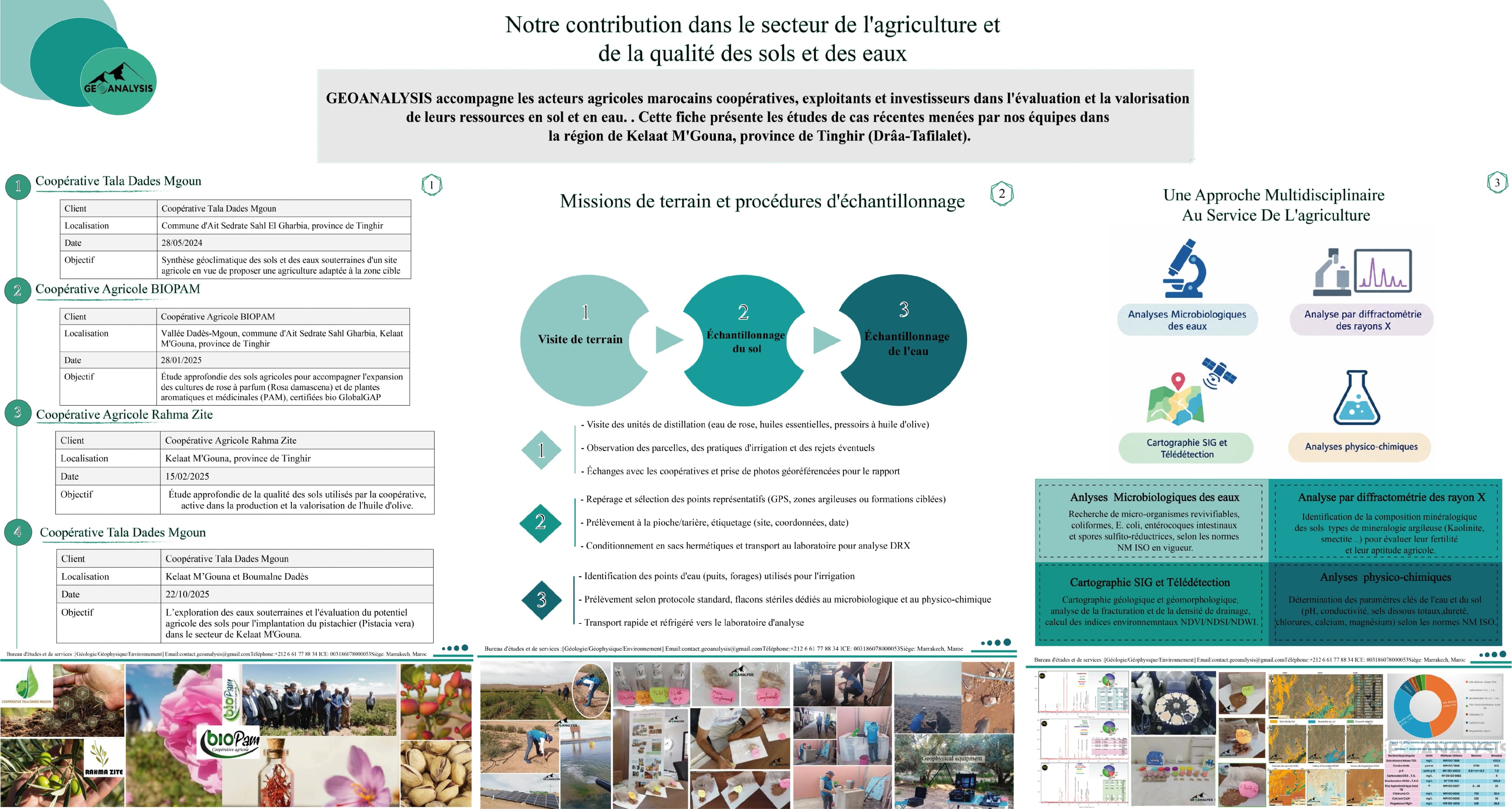
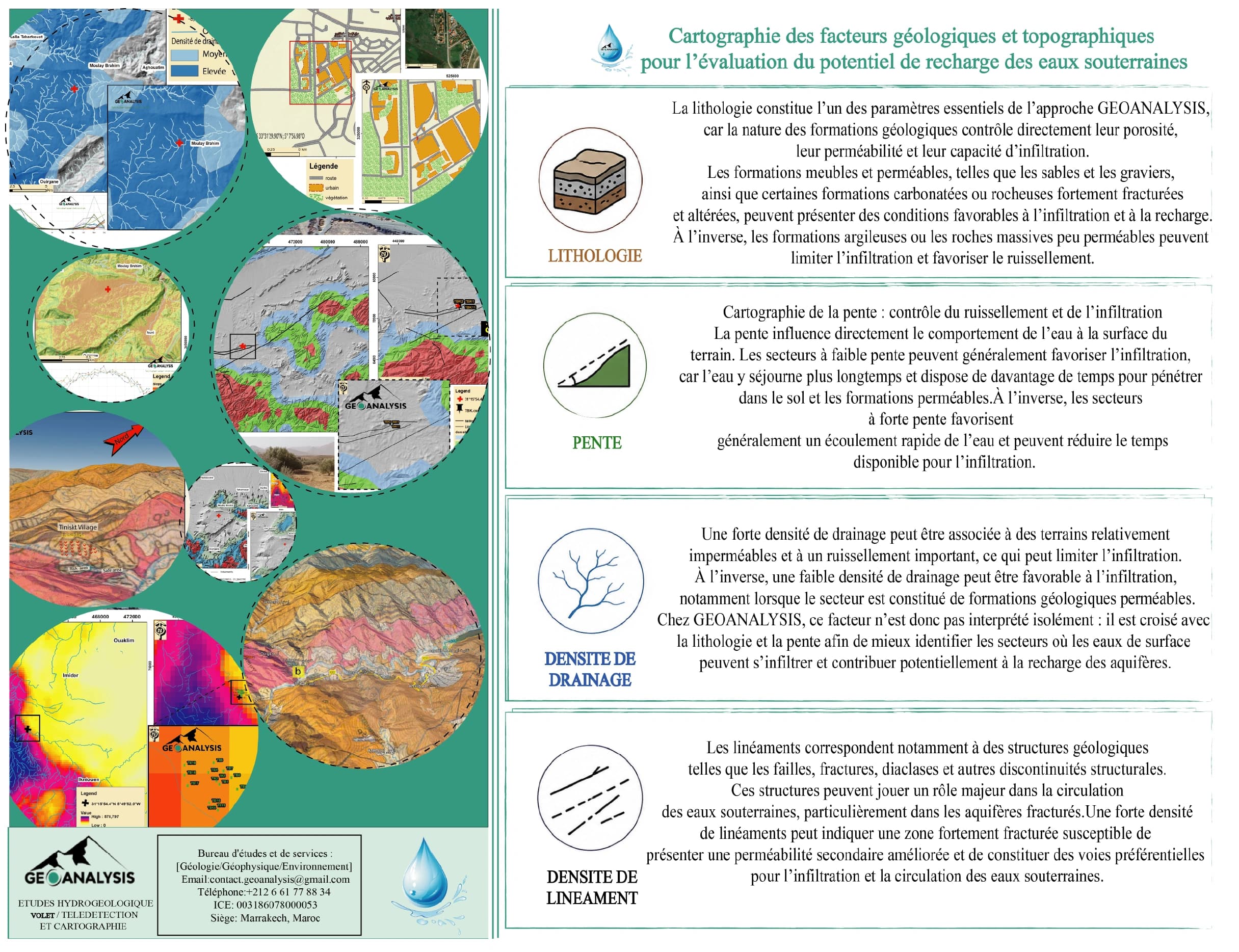
Groundwater recharge potential assessment relies on the integrated analysis of geological and topographical factors to identify areas favorable for water infiltration and underground storage. By combining geological mapping, terrain analysis, and Geographic Information Systems (GIS) with remote sensing techniques, GEOANALYSIS develops thematic maps that highlight potential groundwater recharge zones.