Geology & mining
Geological reconnaissance
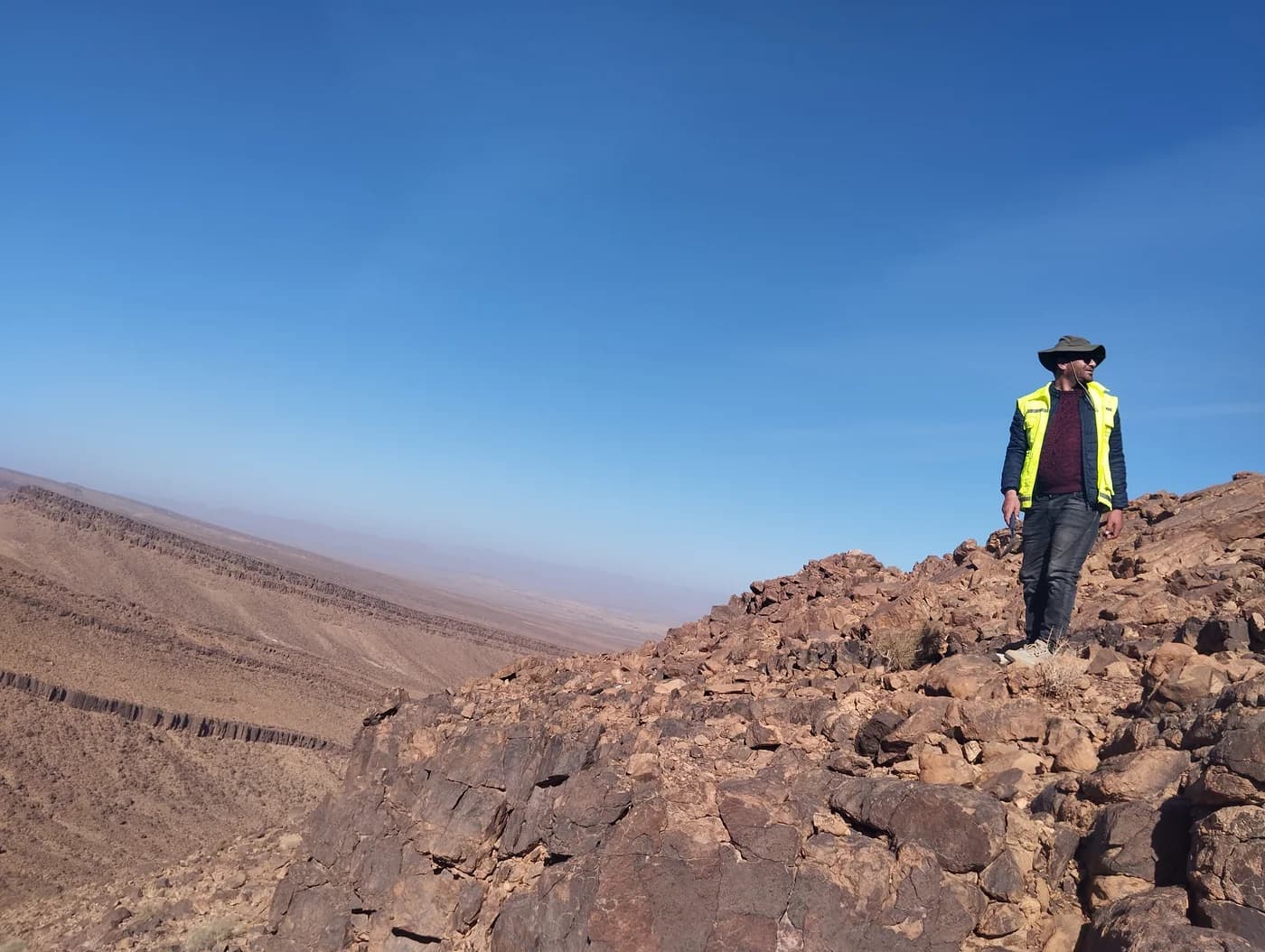
Geological surveys and outcrop observations document the formations encountered.
Gallery
Project visuals
The assignment
Project description
A geological reconnaissance describes the visible formations and how they are arranged across the study area. Outcrops, contacts, structures and observed indicators are considered in the context of the site to clarify the available evidence and plan suitable further investigations.
Methodology
Assignment steps
Available maps and records guide the field route. Each outcrop is located and described by lithology, alteration and visible structures; photographs and notes are linked to the recorded points. The observations are then reviewed and placed on a map.
Results
Key results
The deliverable brings together observation points, field descriptions and a mapped summary of the units and structures recorded. It helps identify areas that may need checking or further work. Interpretation remains tied to the scale and conditions of the field assignment.
Planning a similar project?
Describe your context. Our team will respond with a methodological proposal.